The State Meteorological Agency (Aemet) has forecasted for this Thursday potentially very strong gusts of wind from the east-southeast on the western slope of La Palma, in the El Golfo area of El Hierro and in the northeastern region of Tenerife during the first part of the day. It does not exclude the possibility of these conditions in the midlands and peaks of La Gomera and Gran Canaria at dawn.
Moreover, there will be instances of cloud cover, predominantly low and medium clouds in the western islands, and high clouds in the eastern islands, with temperatures experiencing a slight to moderate rise in the midlands and elevated areas, especially notable in the maximum temperatures. However, there are expected to be minimal changes in the easternmost islands and along the coast.
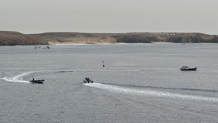
Regarding maritime conditions, winds are anticipated to come from the east or northeast, reaching between force 5 and 6, with swells or ripples, along with swells originating from the north that are expected to produce waves of between 1 and 2 metres.
Island-Specific Forecast for This Thursday
Lanzarote
Partly cloudy with intervals of high clouds. Temperatures will remain relatively stable. Moderate winds from the northeast, with stronger gusts during the first part of the day.
Predicted minimum and maximum temperatures (ºC): Reef 19 25

AF
Fuerteventura
Partly cloudy with intervals of high clouds, and presence of low clouds in the early morning towards the east. Temperatures will remain stable. Moderate winds from the northeast, with strong intervals in the earlier part of the day.
Predicted minimum and maximum temperatures (ºC): Puerto del Rosario 19 24
Gran Canaria
In the northern and eastern regions, below 900 to 1000 metres, it will be cloudy with significant clearings developing in the afternoon. Elsewhere, it will be slightly cloudy with intervals of high clouds. Minimum temperatures will remain unchanged. Maximum temperatures will exhibit a slight to moderate rise, except along the coasts where minimal changes are anticipated. Moderate winds will have strong intervals initially, blowing from the northeast on the coasts and from the east in the midlands and elevated areas. There is a low probability of locally very strong gusts on the summits, western midlands, and in the Agaete valley during the early hours.
Predicted minimum and maximum temperatures (ºC): Las Palmas de Gran Canaria 20 24
Tenerife
Partly cloudy during the first half of the day, except in the northeast where cloudy weather is expected. Around midday, it will trend towards intervals of medium and high clouds. Minimum temperatures will show few changes, except for slight increases on the summits. Maximum temperatures will see a slight to moderate rise, except for the coasts where few alterations are expected. Moderate winds with strong intervals at the start, from the northeast on the coasts and from the east in the midlands and high areas. There is a probability of locally very strong gusts in the midlands between La Orotava and El Sauzal during the first part of the day, with lesser likelihood on central summits and the southern slope.
Predicted minimum and maximum temperatures (ºC): Santa Cruz de Tenerife 20 25
La Gomera
Somewhat cloudy during the first half of the day, apart from occasional cloudy intervals in the north. From midday onwards, expect increasing cloudiness with medium and high clouds. Minimum temperatures will show few changes. Maximum temperatures will rise slightly in the midlands and higher areas as well as on the northern coasts, with little change expected elsewhere. Moderate winds will have strong intervals initially, coming from the north on the coasts and from the east in the midlands and high regions, where exceptionally strong gusts may occur at dawn.
Predicted minimum and maximum temperatures (ºC): San Sebastián de La Gomera 20 26
La Palma
Cloudy skies will dominate the eastern region. In the west, it will begin slightly cloudy before turning to intervals of medium and high clouds. Minimum temperatures will change little. Maximum temperatures will experience a slight to moderate rise in the midlands and high areas of the west, with minimal changes in other areas. Moderate winds will show strong intervals, originating from the northeast on the coasts and from the east in the midlands and high areas. Very strong gusts are anticipated during the first half of the day on the summits and midlands of the western slope, with lower likelihood along coastal regions. Conditions are expected to settle in the afternoon.
Predicted minimum and maximum temperatures (ºC): Santa Cruz de La Palma 19 23
El Hierro
Expect intervals of medium and high clouds, with low cloud cover at the beginning in the northeast. Minimum temperatures will remain stable. Maximum temperatures will rise slightly in the western midlands while remaining stable elsewhere. Moderate winds with strong intervals expected during the first half of the day, coming from the northeast on the coasts and from the east in the midlands and peak areas. There is a likelihood of locally very strong gusts on the summits and in the El Golfo region during the initial part of the day, particularly at the onset.
